Loading...

- About
- Exhibit
- Attend
- What's on
- Exhibitor Directory
- Infos auf Deutsch
- Show more
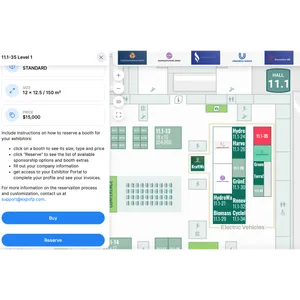
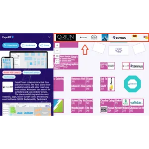
Wayfinding helps to see where exhibitors, conference rooms, booths and restaurants are located on a plan and gives routing directions.
Choose an exhibitor, click Directions and select the nearest booth to you as a starting point to get results.
The distance is calculated using measurement units (m/ft) in the Designer, and the arrival time is calculated with the assumed average speed of 5 km/h.
Multi-level wayfinding
Wayfinding can connect multiple buildings and levels. On the first level, it leads to stairs or elevators, and when you switch to the next level, it shows the rest of the route to the destination.
Outdoor wayfinding
We can display additional locations on the area map and connect them with wayfinding. It can be used for open-air festivals, camping sites or outdoor markets.